qgis2fds at a glance


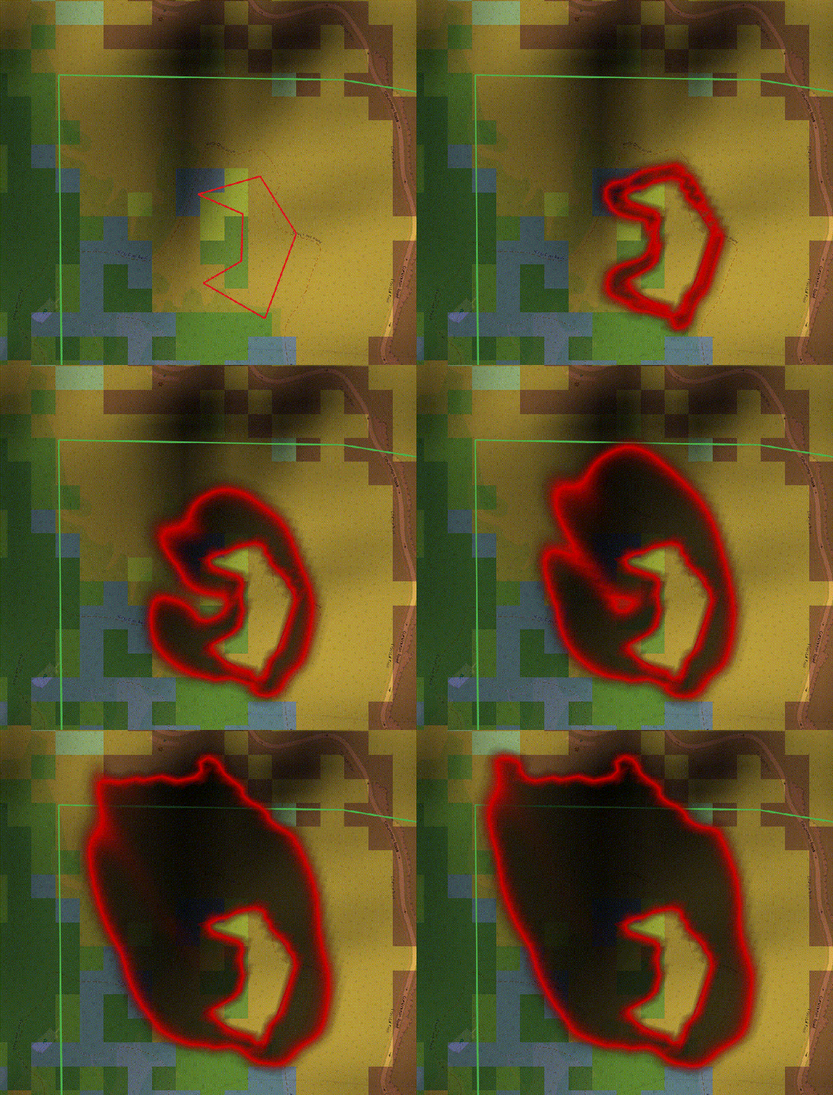
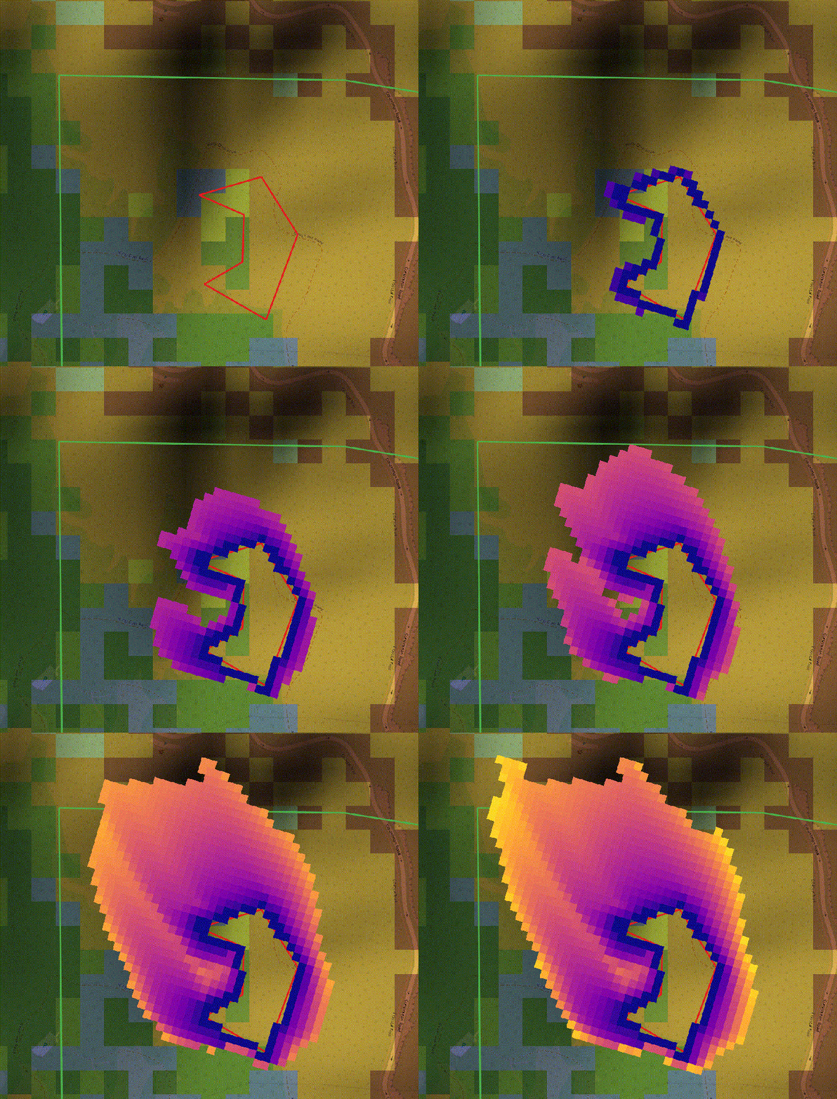
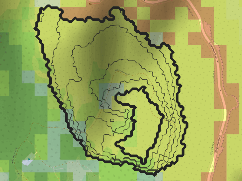
From QGIS to FDS, and back
qgis2fds connects your geospatial data and your simulation results in one workflow. Its two QGIS Processing algorithms let you prepare a georeferenced FDS case, run it in FDS, and bring the calculated results back to their real-world location in QGIS.
Export FDS cases
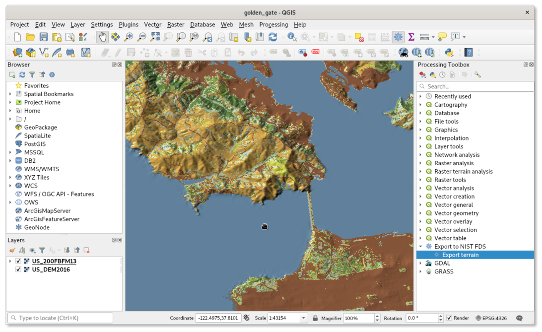
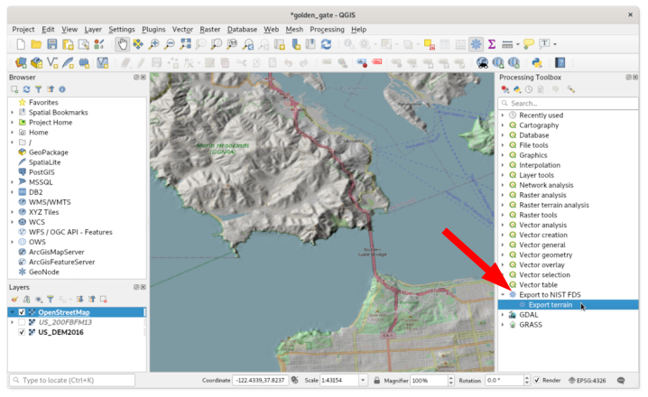
Export FDS case prepares terrain elevation and land-use data for wildfire and atmospheric pollutant dispersion simulations.
You can:
-
extract and process digital elevation models (DEM) to generate realistic terrain for FDS domains;
-
incorporate land-use and vegetation layers to define surface characteristics relevant to fire spread or pollutant transport;
-
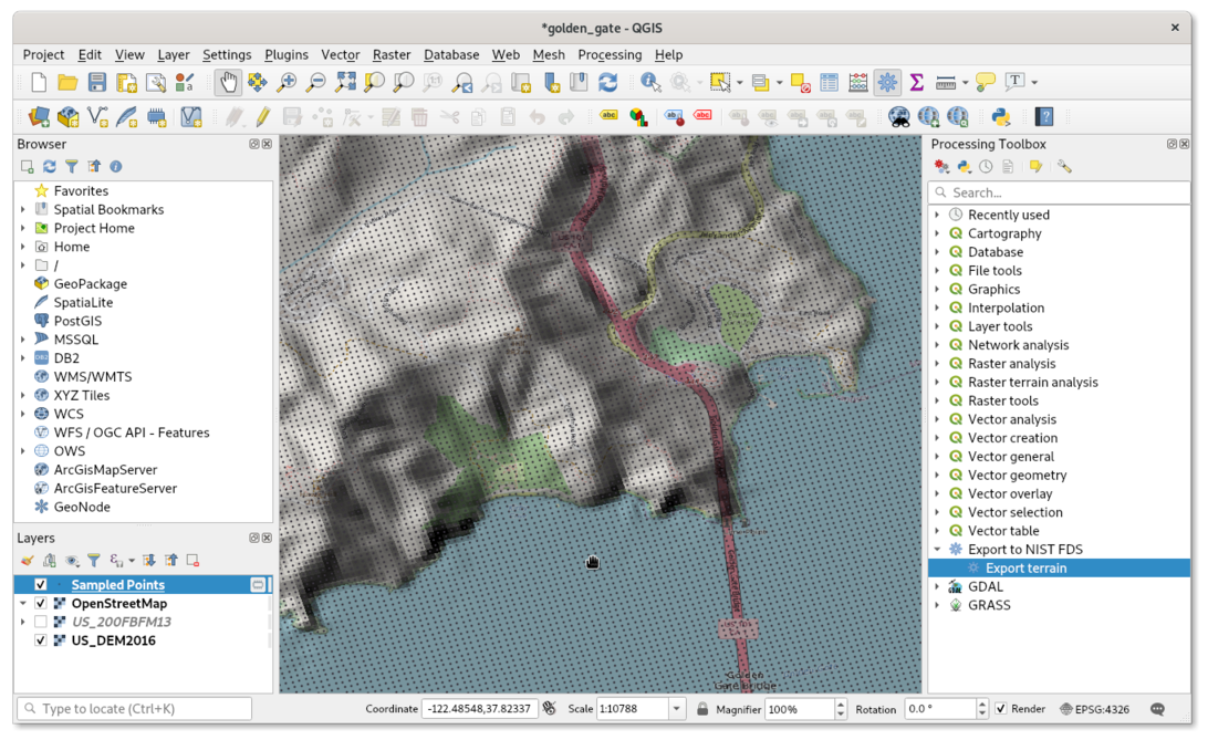
define the simulation extent, ignition areas, and optional wind data directly in QGIS;
-
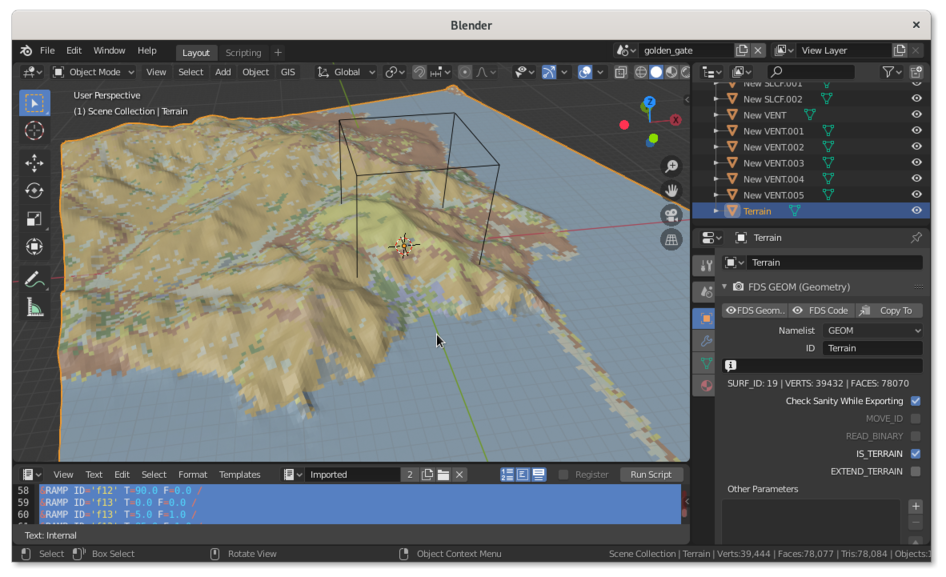
export simulation-ready terrain as FDS OBST namelists or GEOM geometry while preserving the case georeference.
Import FDS results
After FDS has calculated the case, Import FDS results reads the FDS input, the Smokeview manifest, and the result files referenced by it. It transforms the simulation coordinates back into the correct geographic position and adds the results to the current QGIS project.
The importer brings in:
-
every calculated SLCF AGL quantity at each available height;
-
horizontal velocity as both the original scalar components and a combined UV-VELOCITY vector layer;
-
wildfire BNDF output for fire arrival time, fire residence time, and level-set spread rate, from structured or GEOM terrain.
Each quantity becomes a separate georeferenced temporal mesh layer, ready to animate, style, and compare with maps and other GIS data.
Designed for fire safety engineers, environmental scientists, and students, qgis2fds uses the GIS capabilities of QGIS to streamline both the setup and the analysis of complex FDS simulations.
What is QGIS?
QGIS is a free and open-source geographic information system (GIS) used to view, edit, analyze, and visualize geospatial data. It supports a wide range of vector, raster, and database formats, making it a powerful tool for mapping and spatial analysis.
License
QGIS and qgis2fds are both free software.
qgis2fds was released under the terms of the GNU General Public License. It is distributed in the hope that it will be useful, but without any warranty.
Financing

During 2020–2021, the development was supported by a grant from the Italian Ministry of Foreign Affairs and International Cooperation.
By the research project WUIFI-21 (High fidelity computational fluid dynamics modeling of forest fires for Wildland-Urban Interface communities resilience and protection) the participating organizations intended to extend the capabilities of FDS on the prediction of wildland-urban interface fires propagation.